I started the climb at the Ranger Station, about 24 miles from the summit, which provides an opportunity for parking, changing and a natural break. The road starts up from here, but at this point the gradients are milder and the road stair steps up with some flats and even brief downhills. It follows the Nooksack River upstream, at some points the valley is quite wide, but at others the slopes close in on both sides as the road climbs up and the river is visible far down the valley below.
 |
| The early going is a fairly steady gradient and is nicely shaded. |
The road truly starts up in earnest with about 12 miles to the summit, and continues steadily for that duration. After a long haul with the mountain to my right, I encountered the first of the switchbacks that become more frequent when as you reach the top.
 |
| The next set of switchbacks looms. |
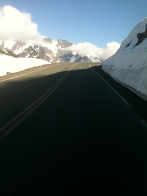
This is where the first embankments of snow can be found along the roadside at this time of year, and it always reminds me of some of the Alpine passes of the Giro in May. The snow certainly has a cooling effect, when combined with the wind. With nothing to impede the wind or shelter the rider at this point, as the road switchbacks up the grade, the wind alternately helps and hinders the ascent.
 |
| Ride to the clouds. |